How to use GPS and other fishing app tools to find the best spots
Fishing for many people is more than a hobby, it’s a passion! Undoubtedly, this is an age-old tradition, passed down from generation to generation. However, now thanks to technology it is possible to have a better experience and even change the way people fish. For this, with the help of a fishing app, it is possible to turn your cell phone into a valuable fishing tool.
First of all, the best technologies can help with day-to-day fishing as they record fishing data such as GPS, location, temperature, wind, pressure, tide, among others. They also indicate the best fishing spots and even the times where you can find more fish in that region. All this makes fishing more productive.
Therefore, in today’s post we will specifically talk a little more about how to use GPS and other tools from fishing apps to find the best spots. Keep reading and find out more!
How GPS location can help when finding the best fishing spot
Nowadays it is very easy to find a fishing app that has a GPS function, so it is much easier to find the best fishing spots.
For this, the GPS system can be used and find hundreds of fishing spots with reports, marine buoys, photos and river gauges. It is even possible to find locations and best access points by following the coordinates shared by other fishermen in the apps.
And after the user has fished at a certain point, he can register the GPS coordinates accompanied by videos, photos and descriptions. So, if you want to come back on another occasion, it’s much easier.
How using maps can help plan fishing in advance
As was said before, fishing is a passion for many people and now planning trips and tours has become a much simpler and uncomplicated task using fishing apps.
Some of them work as true complete fishing guides, where you can explore new fishing maps with locations, coordinates and routes. Or even calculate distances, recommend places, fishing spots and important points. There are hundreds of world nautical maps available for users to have complete access.
From the outset, using this technology, fishing becomes much safer, more productive, and certainly becomes an unforgettable experience.
How to use information about water temperature and currents to find the best fishing spot
For your fishing day to be more successful and productive, you will definitely need a fishing app that provides information about water temperature and currents. This way you can find the best fishing spots.
Many of the apps indicate the water temperature, and even report that when the temperature is cold, between 59°F and 62,6 °F, fish activity increases, thus making them easier prey. Therefore, knowing the water temperature, the application indicates the best closest point and even the best time to fish.
And in the case of sea currents, because they influence the movement of oceanic waters, when warm and salty waters mix with cold waters, fishing can be harmed.
As we can see, knowing the water temperature can be much more important than many people think. Therefore, using a fishing application makes it much simpler to have all the necessary information to find the best spots.
Definitely, fishing and technology can be great allies. If you also want to turn your smartphone into a fishing tool, download a fishing application and get access to all kinds of information relevant to your fishing day!
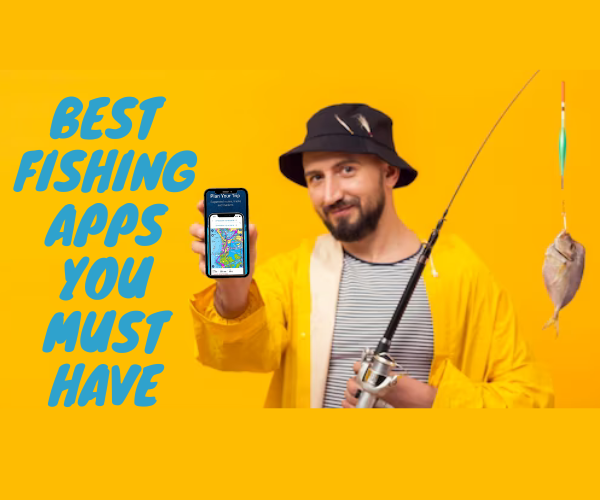 Best Fishing apps you must have
For some time now, sport fishing has been more sought after by people who want to get […]
Ver mais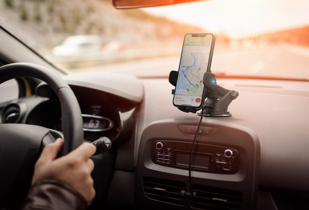 Free GPS mobile app
Many may think that GPS technology is something new. Well no. This technology emerged some time ago, […]
Ver mais Apps to learn a new language
Just a few years ago, knowing other languages was a differential. Nowadays, this view has completely changed, […]
Ver mais